
4D Path Planning via Spatiotemporal Voxels in Urban Airspaces
3rd Annual IEEE International Conference on Metaverse Computing, Networking, and Applications (MetaCom 2025), Seoul, Korea, 2025年8月27日
DOI: 10.1109/MetaCom65502.2025.00022
3行要約
- 都市の低空域を、時間とともに変化する空間ボクセルで表す。
- PLATEAUの都市形状を使い、静的・動的な障害物を避ける経路の制御を学習する。
- 新宿のシーンを使い、従来の経路計画に対する安全性と効率を比較した。
論文の図
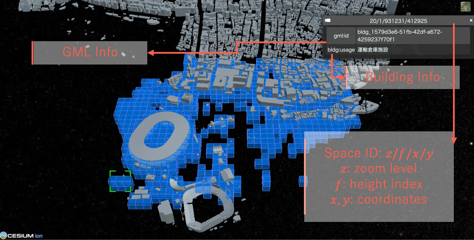
アブストラクト(原文)
This paper presents an approach to four-dimensional (4D) path planning for unmanned aerial vehicles (UAVs) in complex urban environments. We introduce a spatiotemporal voxel-based representation that effectively models both spatial and temporal dimensions of urban airspaces. By integrating the 4D spatio-temporal ID framework with reinforcement learning techniques, our system generates efficient and safe flight paths while considering dynamic obstacles and environmental constraints. The proposed method combines off-line pretraining and online fine-tuning of reinforcement learning models to achieve computational efficiency without compromising path quality. Experiments conducted using PLATEAU datasets in various urban scenarios demonstrate that our approach outperforms traditional path planning algorithms by 24% in safety metrics and 18% in efficiency metrics. Our framework advances the state-of-the-art in urban air mobility by providing a scalable solution for airspace management in increasingly congested urban environments.
関連する研究・ソフトウェア
関連ニュース
引用方法
N. Bao, A. Orsholits, and M. Tsukada, “4D Path Planning via Spatiotemporal Voxels in Urban Airspaces,” in 3rd Annual IEEE International Conference on Metaverse Computing, Networking, and Applications (MetaCom 2025), Seoul, Korea, 2025, doi: 10.1109/MetaCom65502.2025.00022.
BibTeX
@inproceedings{Bao2025,
  title         = {4D Path Planning via Spatiotemporal Voxels in Urban Airspaces},
  author        = {Naren Bao and Alex Orsholits and Manabu Tsukada},
  doi           = {10.1109/MetaCom65502.2025.00022},
  year          = {2025},
  date          = {2025-08-27},
  urldate       = {2025-08-27},
  booktitle     = {3rd Annual IEEE International Conference on Metaverse Computing, Networking, and Applications (MetaCom 2025)},
  address       = {Seoul, Korea},
  abstract      = {This paper presents an approach to four-dimensional (4D) path planning for unmanned aerial vehicles (UAVs) in complex urban environments. We introduce a spatiotemporal voxel-based representation that effectively models both spatial and temporal dimensions of urban airspaces. By integrating the 4D spatio-temporal ID framework with reinforcement learning techniques, our system generates efficient and safe flight paths while considering dynamic obstacles and environmental constraints. The proposed method combines off-line pretraining and online fine-tuning of reinforcement learning models to achieve computational efficiency without compromising path quality. Experiments conducted using PLATEAU datasets in various urban scenarios demonstrate that our approach outperforms traditional path planning algorithms by 24% in safety metrics and 18% in efficiency metrics. Our framework advances the state-of-the-art in urban air mobility by providing a scalable solution for airspace management in increasingly congested urban environments.},
  keywords      = {SDM},
  pubstate      = {published},
  tppubtype     = {inproceedings}
}